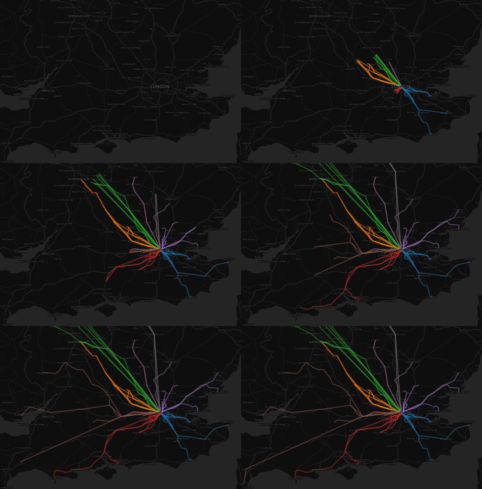
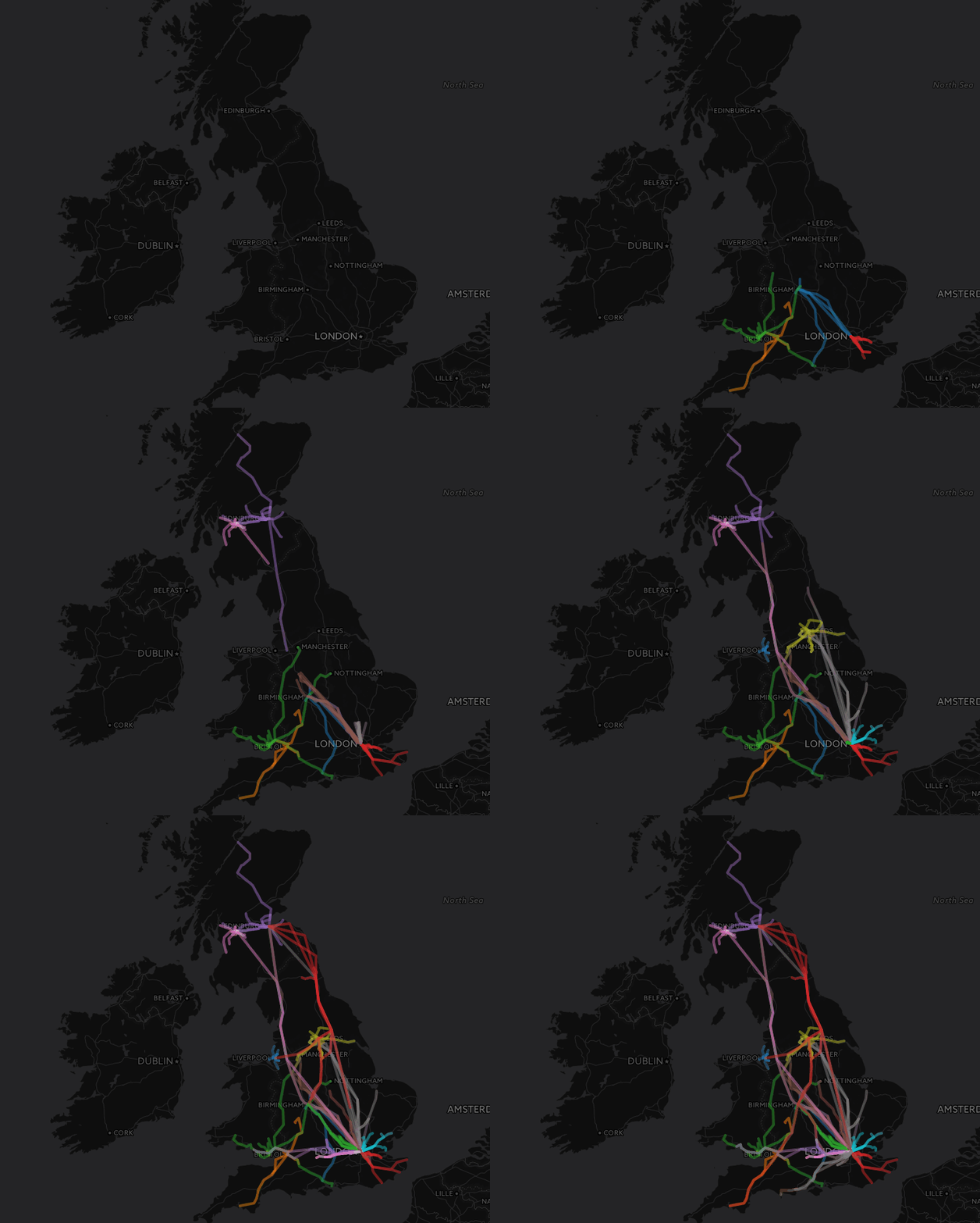
Live Train Route Animation
June 16, 2016
The code for this article is available on my github, here: https://github.com/DanteLore/national-rail
Building on the Live Departures Board project from the other day, I decided to try out mapping some departure data. The other article shows pretty much all the back-end code, which wasn’t changed much.
The AngularJS app takes the routes of imminent departures from various stations and displays them on a CartoDB, which is free, unlike Mapbox.
Here’s the code-behind for the Angular app:
var mapApp = angular.module('mapApp', ['ngRoute']);
mapApp
.config(function($routeProvider){
$routeProvider
.when('/',
{
controller: 'MapController',
templateUrl: 'map.html'
})
.otherwise({redirectTo: '/'});
})
.controller('MapController', function($scope, $http, $timeout, $routeParams) {
var mymap = L.map('mapid').fitBounds([ [51.3933180851, -1.24174419711], [51.5154681995, -0.174688620494] ]);
L.tileLayer('http://{s}.basemaps.cartocdn.com/dark_all/{z}/{x}/{y}.png', {
attribution: '&copy; <a href="http://cartodb.com/attributions">CartoDB</a>',
subdomains: 'abcd',
maxZoom: 19
}).addTo(mymap);
$scope.routeLayer = L.featureGroup().addTo(mymap);
$scope.categoryScale = d3.scale.category10();
$scope.doStation = function(data) {
data.forEach(function(route){
var color = $scope.categoryScale(route[0].crs)
var path = []
route.filter(function(x) {return x.latitude && x.longitude}).forEach(function(station) {
var location = [station.latitude, station.longitude];
path.push(location);
});
var line = L.polyline(path, {
weight: 4,
color: color,
opacity: 0.5
}).addTo($scope.routeLayer);
line.snakeIn();
});
};
$scope.refresh = function() {
$scope.routeLayer.clearLayers();
$scope.crsList.forEach(function(crs) {
$http.get("/routes/" + crs).success($scope.doStation);
});
$timeout(function(){
$scope.refresh();
}, 10000)
};
$http.get("/loaded-crs").success(function(crsData) {
$scope.crsList = crsData;
$scope.refresh();
})
});

